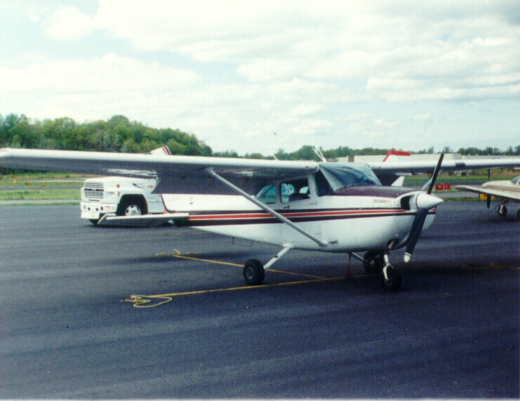
The Cessna 172 (N62049) I rented for the flight from Caldwell field (CDW) Essex County.
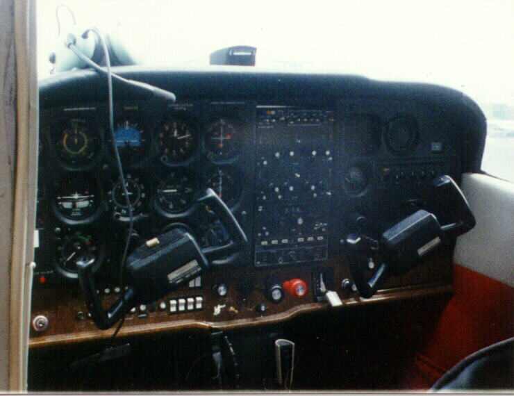
The cockpit during preflight.
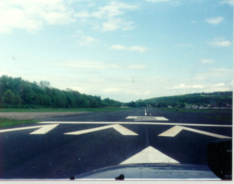
Holding on runway 9 for clearance from the tower to take off.
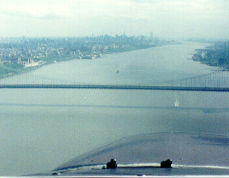
Heading south down the west bank of the Hudson River; approaching the George Washington Bridge; called the "GWB". Flying at 800 feet, self announcing type, position, direction, speed, and altitude every so often on the radio.
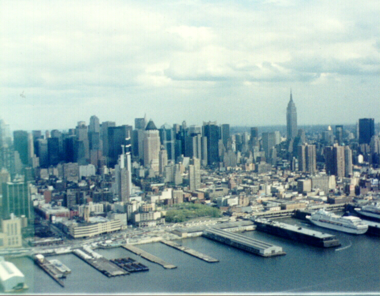
Empire State Building and water front.
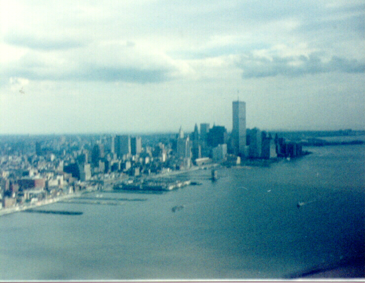
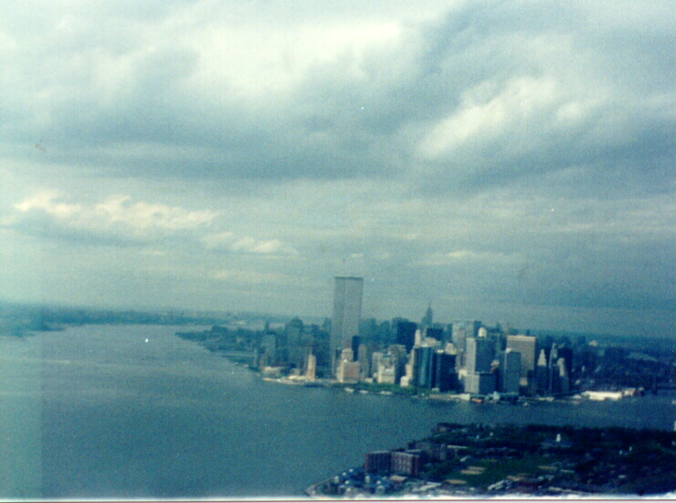
The World Trade Center, taken from the north.
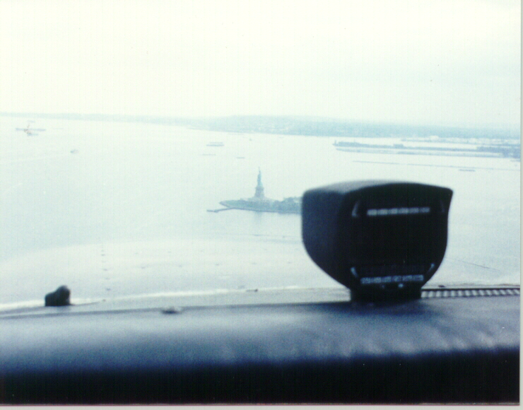
The "Statue" of Liberty. I flew a 360 around her before continuing south.
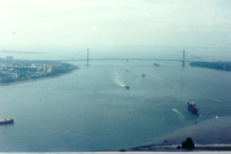
The Verrazano Bridge. I turned around just before this bridge to fly back up the east bank of the Hudson.
The World Trade Center, taken from the south.
Excerpt of termial chart for New York (1995). (1.7Meg Gif)
Notice the note at the bottom right about the "HIGH DENSITY OF UNCONTROLLED...".